
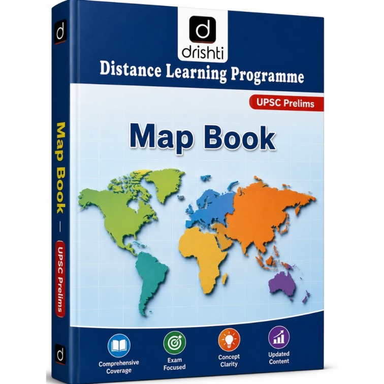
Drishti IAS Map Book (UPSC Prelims) – Distance Learning Programme (Latest Edition) photocopy
| Attribute | Details |
| Publisher / Institute | Drishti IAS |
| Programme | Distance Learning Programme (DLP) |
| Subject | Geography Mapping (India & World Mapping) |
| Target Exam | UPSC Civil Services (Prelims), State PCS |
| Set Includes | 1 Volume (UPSC Prelims Map Book) |
| Language | English |
| Key Features | Comprehensive Coverage, Exam Focused, Concept Clarity, Updated Content |
- Delivered today (order Mon-Fri before 12:00, delivery between 17:00 and 22:00)
- Including shipping costs, sent by Tirupati Book Centre
- Pick up at a Tirupati Book Centre collection point is possible
- 4 days to change your mind and free returns
- Day and night customer service
Description
Drishti IAS Map Book
https://upsciastirupatibooks.in/product/drishti-ias-map-…hti-ias-map-book/
Master mapping and spatial questions for the UPSC Civil Services Preliminary examination with the Drishti IAS Distance Learning Programme (DLP) Map Book. Specially curated for UPSC CSE and State Public Service Commission (State PCS) aspirants, this comprehensive guide offers high-quality maps and spatial analysis tailored specifically for objective-type geography and current affairs questions.
What’s Covered:
-
Indian Mapping: Rivers, mountain ranges, national parks, wildlife sanctuaries, biosphere reserves, ports, energy resources, and strategic geographical locations in India.
-
World Mapping: Physical features, continent-wise breakdown, major seas, straits, geopolitical hotspots, trade routes, and international conflict zones in the news.
-
Current Affairs Integration: Mapping locations linked to recent global and national events, treaties, environmental summits, and strategic agreements.
Key Highlights:
-
Prelims-Oriented Approach: Designed specifically for quick spatial recognition and tackling map-based MCQs accurately in General Studies Paper I.
-
Comprehensive Coverage: Complete coverage of Indian and World physical, political, and thematic mapping requirements.
-
Concept Clarity: Clear visual layouts with color-coded maps, mnemonic aids, and key geographical facts associated with each location.
-
Updated Content: Incorporates the latest geopolitical updates, newly designated protected areas, and place-in-news developments.
General Inquiries
There are no inquiries yet.
Related products
General Studies Ethics 2025 Book for UPSC CSE Mains Exam Vajiram & Ravi
Original price was: ₹400.00.₹150.00Current price is: ₹150.00.
Vision IAS GS PRE Full Length Test Series 1 to 8 (Hindi Medium)
Original price was: ₹700.00.₹320.00Current price is: ₹320.00.
General Studies Complete Material ( Set of 21 Books)
Original price was: ₹5,500.00.₹2,500.00Current price is: ₹2,500.00.
Recently viewed items

History of Modern India (New Edition) by Bipan Chandra | UPSC
Original price was: ₹550.00.₹450.00Current price is: ₹450.00.
Drishti IAS Internal Security Book (UPSC Mains) – Distance Learning Programme (Latest Edition) photocopy
Original price was: ₹200.00.₹120.00Current price is: ₹120.00.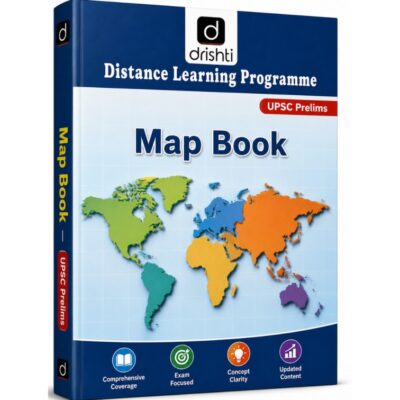
Reviews
There are no reviews yet.